The resource estimate1 for the Pusticamica Gold Deposit on the Benoist Property was produced using a gold price of US $ 1,610 per ounce and a cut-off grade of 1.5 g/t AuEq:
- 1,455,400 tonnes at an average grade of 2.87 g/t AuEq for a total of 134,400 ounces of gold in the indicated resource category;
- 1,449,600 tonnes at an average grade of 2.30 g/t AuEq for a total of 107,000 ounces of gold in the inferred resource category.
Poised to be Cartier’s next high profile project. 30,000m diamond drill programme currently underway.
1: The estimate, completed and made available on December 16, 2020, was carried out by Ms. Christine Beausoleil P. Geo. and Claude Savard P. Geo. of InnovExplo Inc., independent qualified persons within the meaning of NI 43-101.
- Highlights
- Documents
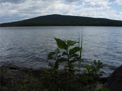
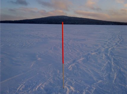
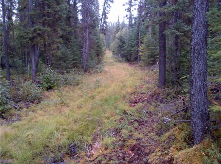
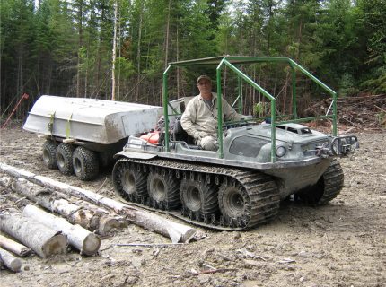
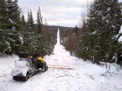
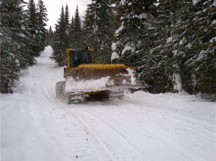
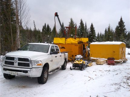
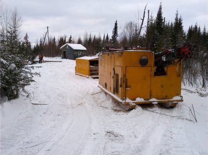
- Photos
-
UPDATED : MAY 17th, 2021
Project
Benoist
Status
Exploration drilling to explore extensions of the Pusticamica Gold Deposit and their peripheral potential
COMMODITIES
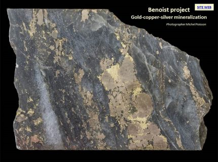
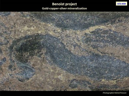
Au and Cu and Ag by-products
LOCATION
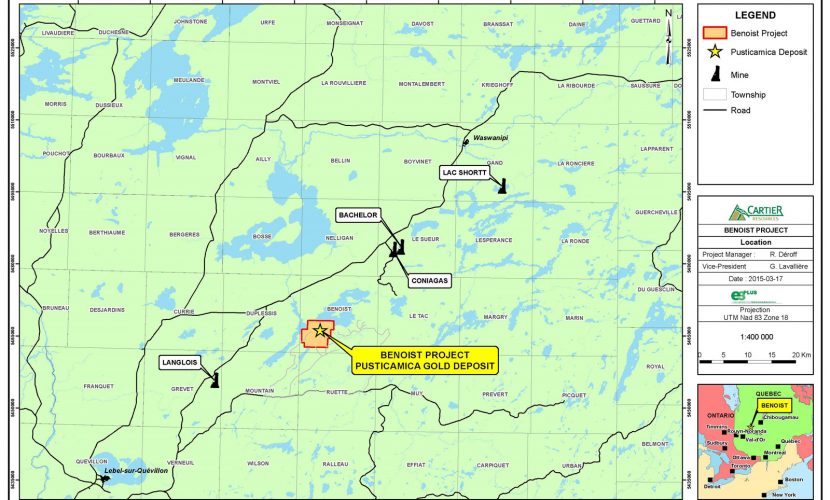
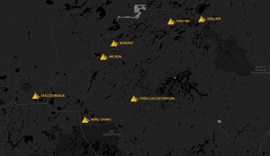
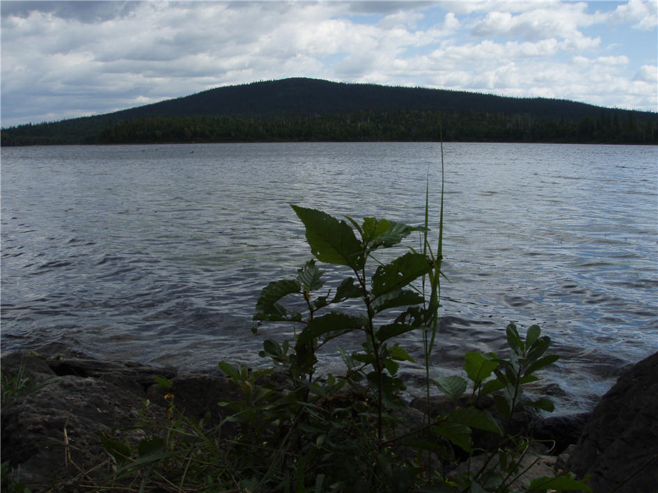
Miquelon, Quebec (Figure 1)
Benoist Township
SNRC 32F08
Latitude : 49° 20′ 06” N
Longitude : 76° 22′ 23” OCLAIMS
The property is composed of 73 claims (Figure 2).
STATUS
Interests of the property are currently held 100% by Cartier Resources Inc.
ROYALTIES
2.5% net smelter return (“NSR”) royalties have been awarded of which 2.0% is redeemable at any time for C$2M
KEY POINTS
The resource estimate1 for the Pusticamica Gold Deposit on the Benoist Property was produced using a gold price of US $ 1,610 per ounce and a cut-off grade of 1.5 g/t AuEq:
- 1,455,400 tonnes at an average grade of 87 g/t AuEq for a total of 134,400 ounces of gold in the indicated resource category;
- 1,449,600 tonnes at an average grade of 2.30 g/t AuEq for a total of 107,000 ounces of gold in the inferred resource category.
1: The estimate, completed and made available on December 16, 2020, was carried out by Ms. Christine Beausoleil P. Geo. and Claude Savard P. Geo. of InnovExplo Inc., independent qualified persons within the meaning of NI 43-101.
An important favorable rock volume (rhyolitic lavas) can be explored on the property around the Pusticamica Gold Deposit to generate drill targets (6.3 km x 500 m x 450 m) (Figure 9).
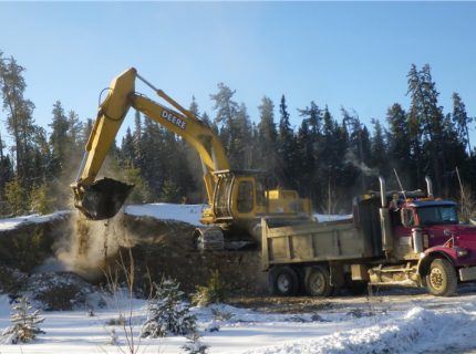
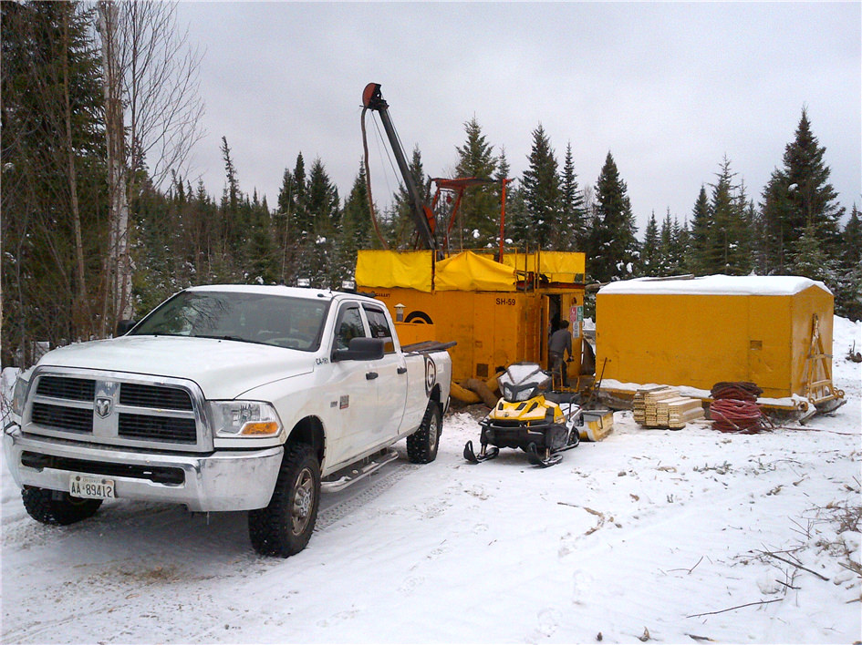
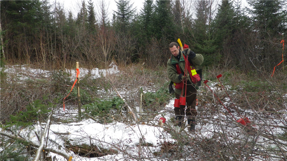
DRILL PROGRAMME
The current controlled directional drilling program consists of 4 phases totaling approximately 30,000 m. These phases are as follows:
- Phase I: Delimit by drilling the extension of the mineralization of the Pusticamica deposit between 350 and 650 m depth;
- Phase II: Delimit by drilling the extension of the mineralization of the Pusticamica deposit between 650 m and 1,300 depth;
- Phase III: Explore the potential peripheral to the Pusticamica deposit to discover additional deposits. A total of 5 potential sectors will be drilled. The targets, located between 150 and 450 m, consist of “OreVision IP” – type anomalies, with a geophysical signature similar to that of the Pusticamica deposit. All of these anomalous sectors are found inside the Favorable Auriferous Corridor known over a strike length of 2,200 m. Three of these anomalous sectors are directly located in the eastern and western extensions of the Pusticamica deposit (FIGURE 2).
- Phase IV: Define the upper part (30 m to 350 m) of the deposit to increase the resources and collect mineralization aimed at carrying out technical tests to optimize the value of the project from the metallurgical aspects as well as industrial sorting of the mineralization.
-
Main results
- OreVision - Drill Holes Targets - Plan View 300 m deep Download
- BEST RESULTS Download
- Figure 1 - Property Location Download
- Figure 2 - Claims Map Download
- Figure 3 - Regional Geology and Potential Download
- Figure 4 - Plan View Pusticamica Gold Deposit Download
- Figure 5 - Longitudinal Section Pusticamica Gold Deposit Download
- Figure 6 - Cross Section 150W Pusticamica Gold Deposit Download
- Figure 7 - Cross Section 200W Pusticamica Gold Deposit Download
- Results May 24, 2013 Download
- Nouvel outil d'exploration pour Benoist Download
- Levés 2015 OreVision et Magnétométrique Download
- Picture 1 - Py-Cp-Chl Stringers (Drill Hole Pu-14-13) Download
- Picture 2 - Py-Cp-Chl Stringers Download
- Picture 3 - Py-Cp-Chl Stringers Download
- Picture 4 - Gold Occurence Download
- Picture 5 - Pusticamica Gold Distribution (Red dots) Download
- Picture 6 - Correlation between Alteration Index and Mineralisation Download
- Picture 7 - Geophysical Caracteristics of the Mineralisation Download
- Pusticamica Mineralization Download
- Pusticamica Mineralization Download
- Pusticamica Mineralization Download
- Figure 8 - Ore Vision Test-Line Survey Results Download
- Figure 9 - Ore Vision Survey and Favorable Horizon Areas Download
- Figure 10 - OreVision - Drill Holes Targets - 750W Cross Section dnd Longitudinal Section Download
- Figure 11 - OreVision Drill Hole Targets - Plan View 300 m deep Download
- 210121_Benoist DDH_FIGURE Download
- 211217_Benoist 43-101 Download
- NI 43-101 Report_Benoist_210129 Download
Other documents


Highlights
UPDATED : MAY 17th, 2021
Project
Benoist
Status
Exploration drilling to explore extensions of the Pusticamica Gold Deposit and their peripheral potential
COMMODITIES
Au and Cu and Ag by-products
LOCATION
Miquelon, Quebec (Figure 1)
Benoist Township
SNRC 32F08
Latitude : 49° 20′ 06” N
Longitude : 76° 22′ 23” O
CLAIMS
The property is composed of 73 claims (Figure 2).
STATUS
Interests of the property are currently held 100% by Cartier Resources Inc.
ROYALTIES
2.5% net smelter return (“NSR”) royalties have been awarded of which 2.0% is redeemable at any time for C$2M
KEY POINTS
The resource estimate1 for the Pusticamica Gold Deposit on the Benoist Property was produced using a gold price of US $ 1,610 per ounce and a cut-off grade of 1.5 g/t AuEq:
- 1,455,400 tonnes at an average grade of 87 g/t AuEq for a total of 134,400 ounces of gold in the indicated resource category;
- 1,449,600 tonnes at an average grade of 2.30 g/t AuEq for a total of 107,000 ounces of gold in the inferred resource category.
1: The estimate, completed and made available on December 16, 2020, was carried out by Ms. Christine Beausoleil P. Geo. and Claude Savard P. Geo. of InnovExplo Inc., independent qualified persons within the meaning of NI 43-101.
An important favorable rock volume (rhyolitic lavas) can be explored on the property around the Pusticamica Gold Deposit to generate drill targets (6.3 km x 500 m x 450 m) (Figure 9).
DRILL PROGRAMME
The current controlled directional drilling program consists of 4 phases totaling approximately 30,000 m. These phases are as follows:
- Phase I: Delimit by drilling the extension of the mineralization of the Pusticamica deposit between 350 and 650 m depth;
- Phase II: Delimit by drilling the extension of the mineralization of the Pusticamica deposit between 650 m and 1,300 depth;
- Phase III: Explore the potential peripheral to the Pusticamica deposit to discover additional deposits. A total of 5 potential sectors will be drilled. The targets, located between 150 and 450 m, consist of “OreVision IP” – type anomalies, with a geophysical signature similar to that of the Pusticamica deposit. All of these anomalous sectors are found inside the Favorable Auriferous Corridor known over a strike length of 2,200 m. Three of these anomalous sectors are directly located in the eastern and western extensions of the Pusticamica deposit (FIGURE 2).
- Phase IV: Define the upper part (30 m to 350 m) of the deposit to increase the resources and collect mineralization aimed at carrying out technical tests to optimize the value of the project from the metallurgical aspects as well as industrial sorting of the mineralization.
Documents
Main results
- OreVision - Drill Holes Targets - Plan View 300 m deep Download
- BEST RESULTS Download
- Figure 1 - Property Location Download
- Figure 2 - Claims Map Download
- Figure 3 - Regional Geology and Potential Download
- Figure 4 - Plan View Pusticamica Gold Deposit Download
- Figure 5 - Longitudinal Section Pusticamica Gold Deposit Download
- Figure 6 - Cross Section 150W Pusticamica Gold Deposit Download
- Figure 7 - Cross Section 200W Pusticamica Gold Deposit Download
- Results May 24, 2013 Download
- Nouvel outil d'exploration pour Benoist Download
- Levés 2015 OreVision et Magnétométrique Download
- Picture 1 - Py-Cp-Chl Stringers (Drill Hole Pu-14-13) Download
- Picture 2 - Py-Cp-Chl Stringers Download
- Picture 3 - Py-Cp-Chl Stringers Download
- Picture 4 - Gold Occurence Download
- Picture 5 - Pusticamica Gold Distribution (Red dots) Download
- Picture 6 - Correlation between Alteration Index and Mineralisation Download
- Picture 7 - Geophysical Caracteristics of the Mineralisation Download
- Pusticamica Mineralization Download
- Pusticamica Mineralization Download
- Pusticamica Mineralization Download
- Figure 8 - Ore Vision Test-Line Survey Results Download
- Figure 9 - Ore Vision Survey and Favorable Horizon Areas Download
- Figure 10 - OreVision - Drill Holes Targets - 750W Cross Section dnd Longitudinal Section Download
- Figure 11 - OreVision Drill Hole Targets - Plan View 300 m deep Download
- 210121_Benoist DDH_FIGURE Download
- 211217_Benoist 43-101 Download
- NI 43-101 Report_Benoist_210129 Download