The original Cartier project. Demonstrated gold and VMS mineralization and robust targets that could lead to the next significant discovery.
- Highlights
- Documents
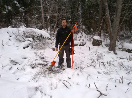
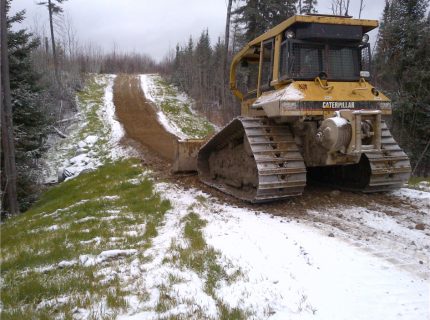
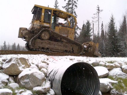
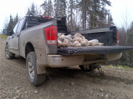
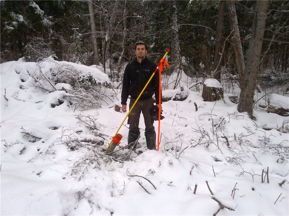
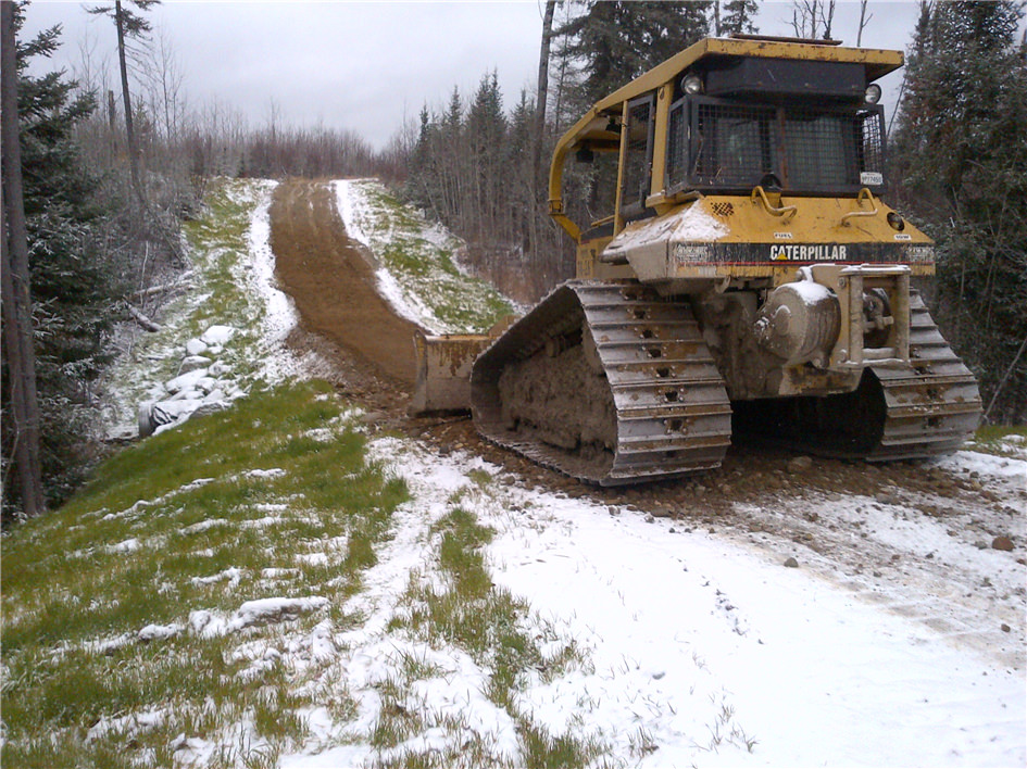
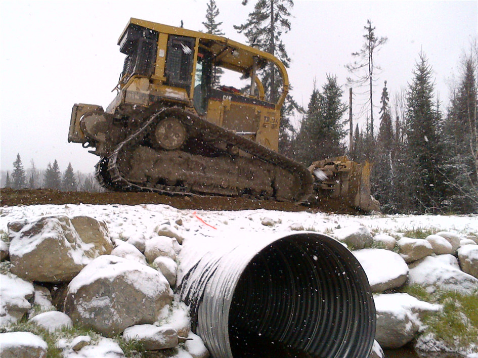
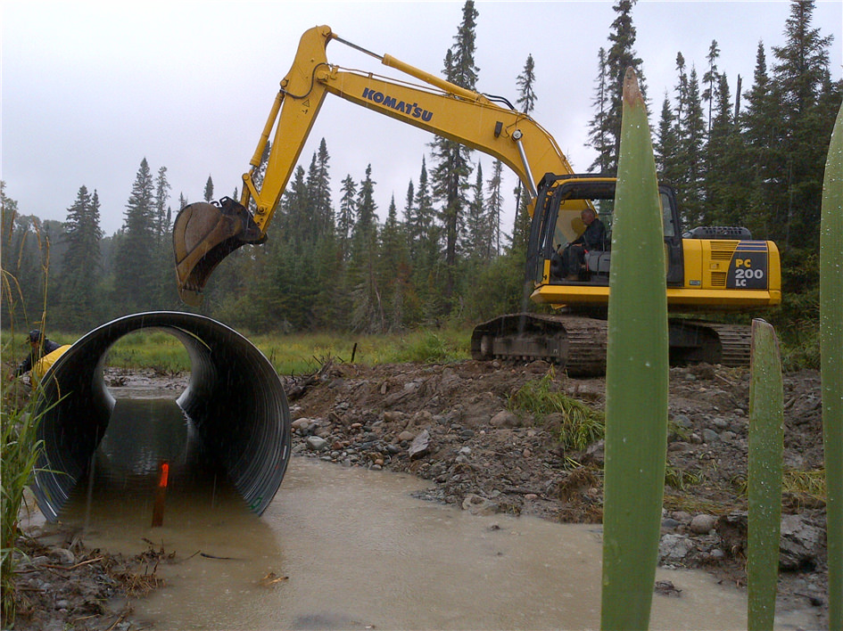
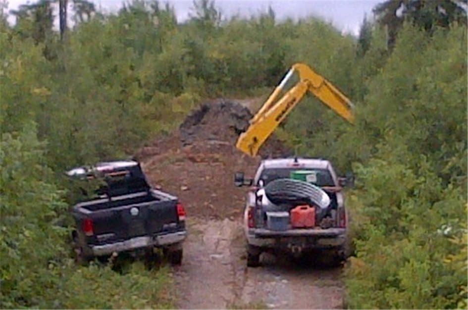
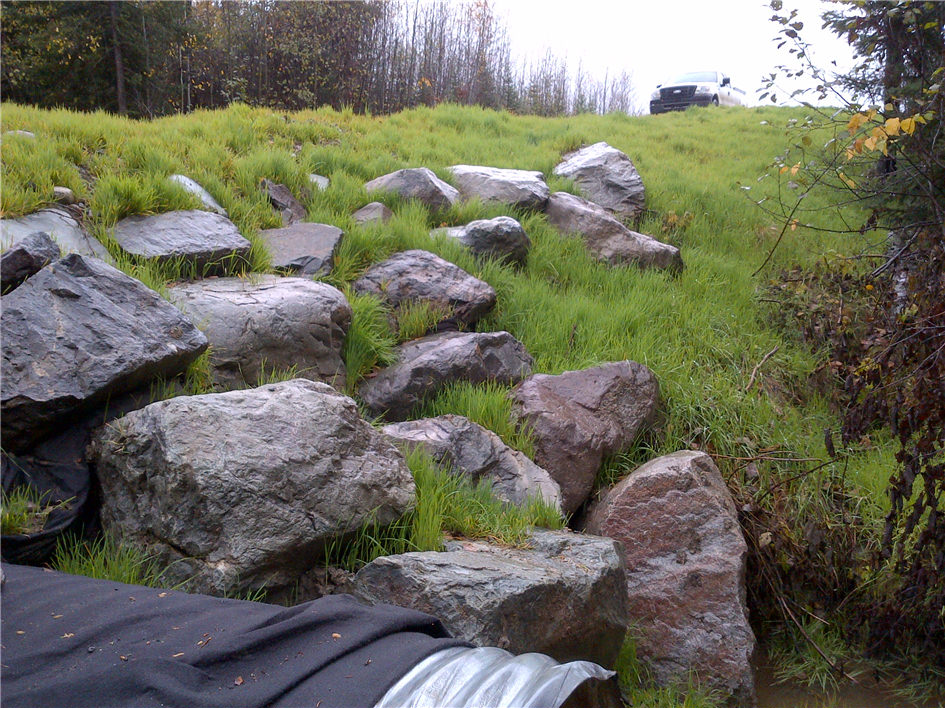
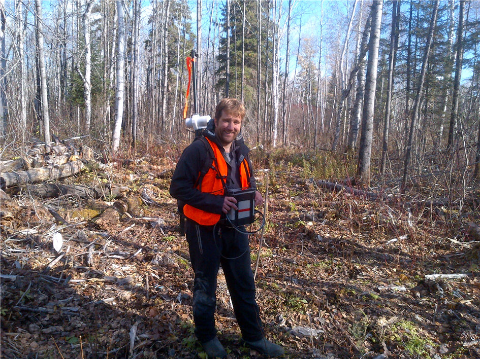
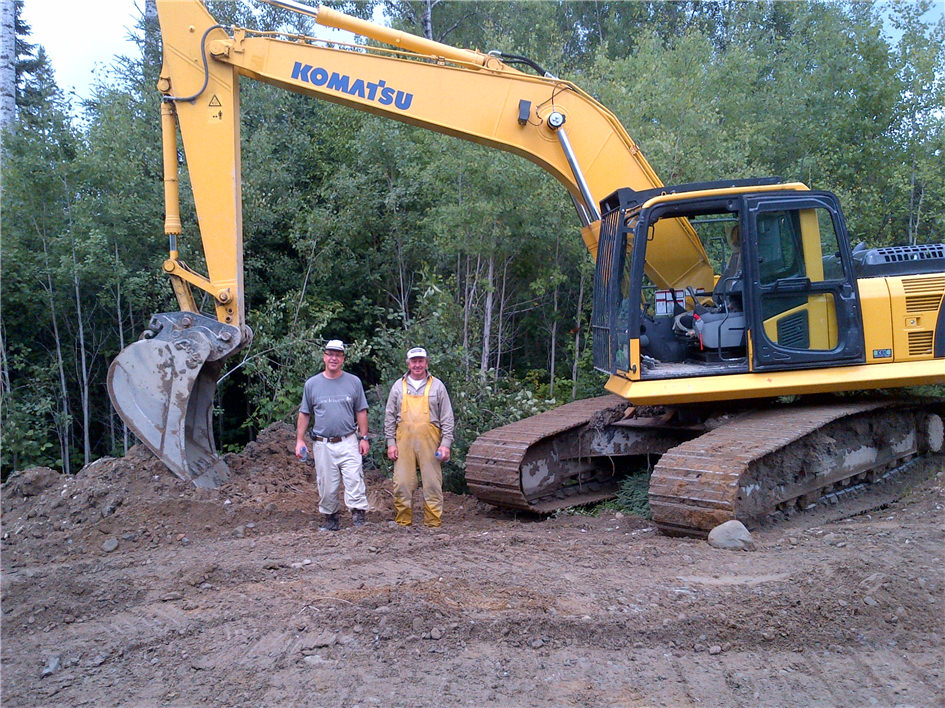
- Photos
-
UPDATED : JUNE 5th, 2017
PROJECT
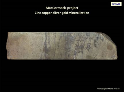
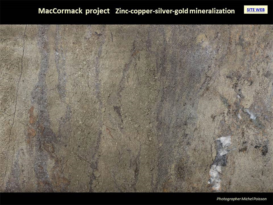
MacCormack
STATUS
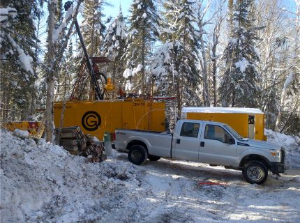
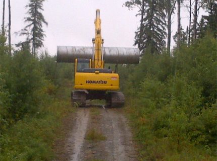
Exploration drilling to explore extensions of the massive sulphide zone and the peripheral potential for massive sulphides and gold.
COMMODITIES
Zinc, copper, gold and silver
LOCATION
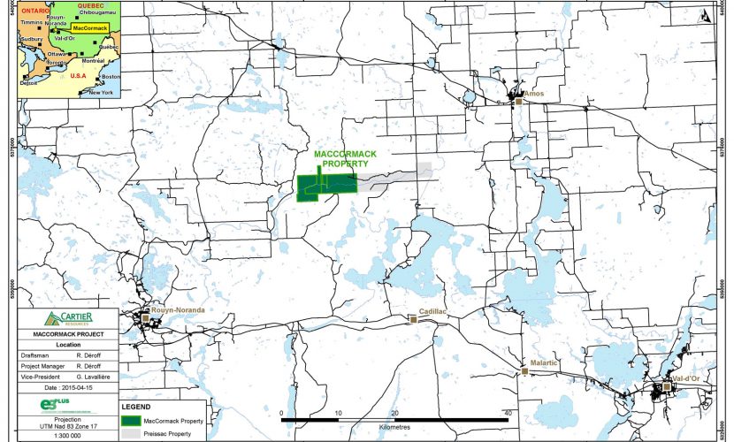
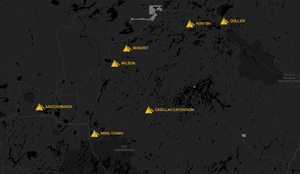
80 km northwest of Val-d’Or and 70 km northeast of Rouyn-Noranda, Quebec (Figure 1)
Townships : La Pause and Manneville
SNRC 32D07
Latitude : 49° 20′ 06” N
Longitude : 76° 22′ 23” WCLAIMS
The property consists of 89 claims (Figure 2) covers 3,808 hectares.
STATUS
Owned 100% by Cartier Resources Inc. A total of 19 claims have a buy back clause from Glencore under certain conditions.
ROYALTIES
No royalty on the property.
KEY POINTS
Massive sulphide zone with a length of 180 m and with a vertical extentof 180 m located on a favorable horizon of 3 km in length (Figures 3, 4 and 5). The best values measured along the core are the following:
- Mc-09-01 : 11,1 % Zn, 1,23 % Cu, 66, 2 g/t Ag et 0,29 g/t Au / 0,4 m;
- Mc-14-10 : 7,15 % Zn, 0,20 % Cu, 4,1 g/t Ag et 0,11 g/t Au / 0,4 m;
- Mc-14-11 : 1,92 % Zn, 0,93 % Cu, 24,3 g/t Ag et 0,30 g/t Au / 0,5 m;
- Mc-14-12: 11,73 % Zn, 0,21 % Cu, 44,2 g/t et 1,98 g/t Au / 0,6 m.
Massive sulphides are located in contact with two felsic lavas of tholeiitic composition altered to chlorite-sericite (Ishikawa alteration index > 80%).
Gold zones along the deformation corridor Destor-Porcupine observable in outcrop and drill core over a distance of 1.5 km (Figures 3, 4 and 6).
- The northern north dyke zone consists of albitized dykes located within a fuschite-chlorite-ankerite shist corridor . The best intersection was 0.34 g/t Au / 67.0 m including 6.50 g/t Au / 1.0 m.
- The southern south dyke zone consists of felsic dykes hematized located within a fuschite-chlorite-ankerite shist corridor. The best intersection was 0.33 g/t Au / 29.0 m including 2.36 g/t Au 3 1.4 m.
The 3D OreVision geophysical survey data generated 2 new drill target areas. A program and budget for 2000 m has been developed to explore this potential.
-
Main results
- BEST RESULTS Download
- Figure 1 - Property Location Download
- Figure 3 - Property Geological Plan View Download
- Figure 4 - A-A' Cross Section Download
- Figure 5 - B-B' Longitudinal Section Download
- Figure 6 - C-C' Longitudinal Section Download
- Figure 7 - Potential Area Download
- Picture 1 - Grouping of core to observe the Massive Sulphides Texture Download
- Picture 2 - Grouping of core to observe the Massive Sulphides Texture Download
- Picture 3 - Gold Mineralisation and Alteration Download
- Samples to determine the geophysical characteristics of the Mineralisation Download
- Physical Properties MacCormack.pdf Download
- Geophysical Ground Calibration Tests Results Download
- Dill Hole Target Zones_March 2016 Download
- Western Potential Download
- Massive Sulphides (Zn, Cu, Ag, Au) Download
- Massive Sulphides (Zn, Cu, Au, Ag) Download
- Figure 2 - Claim Map Download


Highlights
UPDATED : JUNE 5th, 2017
PROJECT
MacCormack
STATUS
Exploration drilling to explore extensions of the massive sulphide zone and the peripheral potential for massive sulphides and gold.
COMMODITIES
Zinc, copper, gold and silver
LOCATION
80 km northwest of Val-d’Or and 70 km northeast of Rouyn-Noranda, Quebec (Figure 1)
Townships : La Pause and Manneville
SNRC 32D07
Latitude : 49° 20′ 06” N
Longitude : 76° 22′ 23” W
CLAIMS
The property consists of 89 claims (Figure 2) covers 3,808 hectares.
STATUS
Owned 100% by Cartier Resources Inc. A total of 19 claims have a buy back clause from Glencore under certain conditions.
ROYALTIES
No royalty on the property.
KEY POINTS
Massive sulphide zone with a length of 180 m and with a vertical extentof 180 m located on a favorable horizon of 3 km in length (Figures 3, 4 and 5). The best values measured along the core are the following:
- Mc-09-01 : 11,1 % Zn, 1,23 % Cu, 66, 2 g/t Ag et 0,29 g/t Au / 0,4 m;
- Mc-14-10 : 7,15 % Zn, 0,20 % Cu, 4,1 g/t Ag et 0,11 g/t Au / 0,4 m;
- Mc-14-11 : 1,92 % Zn, 0,93 % Cu, 24,3 g/t Ag et 0,30 g/t Au / 0,5 m;
- Mc-14-12: 11,73 % Zn, 0,21 % Cu, 44,2 g/t et 1,98 g/t Au / 0,6 m.
Massive sulphides are located in contact with two felsic lavas of tholeiitic composition altered to chlorite-sericite (Ishikawa alteration index > 80%).
Gold zones along the deformation corridor Destor-Porcupine observable in outcrop and drill core over a distance of 1.5 km (Figures 3, 4 and 6).
- The northern north dyke zone consists of albitized dykes located within a fuschite-chlorite-ankerite shist corridor . The best intersection was 0.34 g/t Au / 67.0 m including 6.50 g/t Au / 1.0 m.
- The southern south dyke zone consists of felsic dykes hematized located within a fuschite-chlorite-ankerite shist corridor. The best intersection was 0.33 g/t Au / 29.0 m including 2.36 g/t Au 3 1.4 m.
The 3D OreVision geophysical survey data generated 2 new drill target areas. A program and budget for 2000 m has been developed to explore this potential.
Documents
Main results
- BEST RESULTS Download
- Figure 1 - Property Location Download
- Figure 3 - Property Geological Plan View Download
- Figure 4 - A-A' Cross Section Download
- Figure 5 - B-B' Longitudinal Section Download
- Figure 6 - C-C' Longitudinal Section Download
- Figure 7 - Potential Area Download
- Picture 1 - Grouping of core to observe the Massive Sulphides Texture Download
- Picture 2 - Grouping of core to observe the Massive Sulphides Texture Download
- Picture 3 - Gold Mineralisation and Alteration Download
- Samples to determine the geophysical characteristics of the Mineralisation Download
- Physical Properties MacCormack.pdf Download
- Geophysical Ground Calibration Tests Results Download
- Dill Hole Target Zones_March 2016 Download
- Western Potential Download
- Massive Sulphides (Zn, Cu, Ag, Au) Download
- Massive Sulphides (Zn, Cu, Au, Ag) Download
- Figure 2 - Claim Map Download