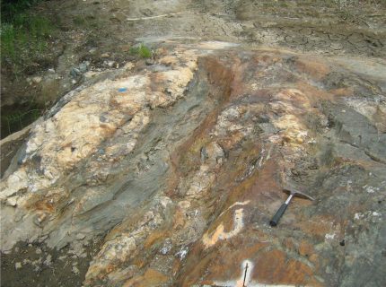
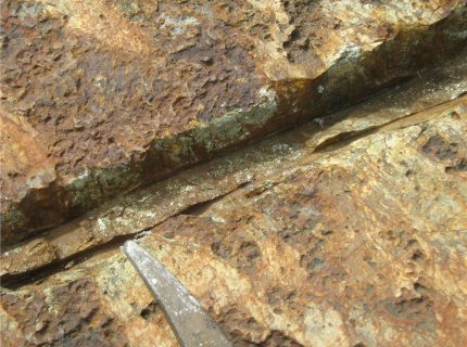
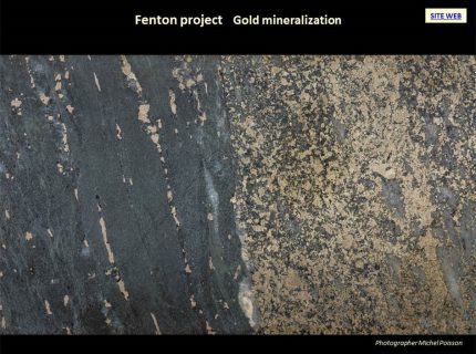
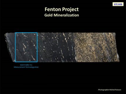
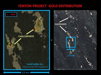
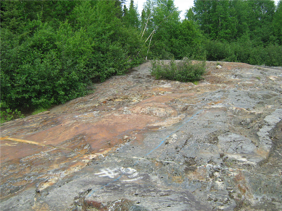
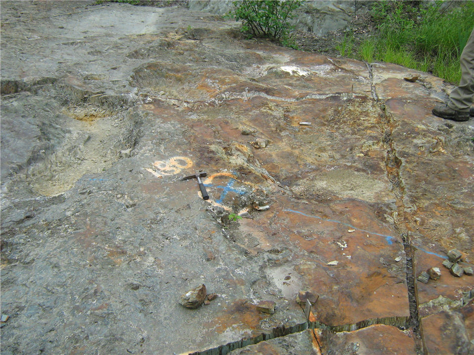
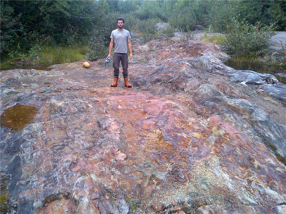
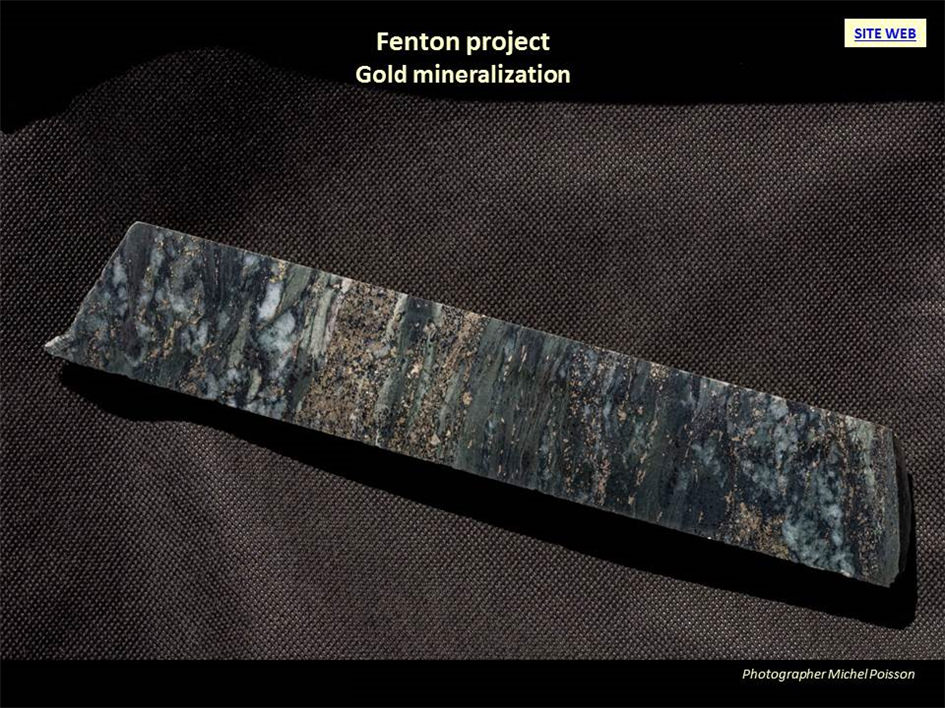
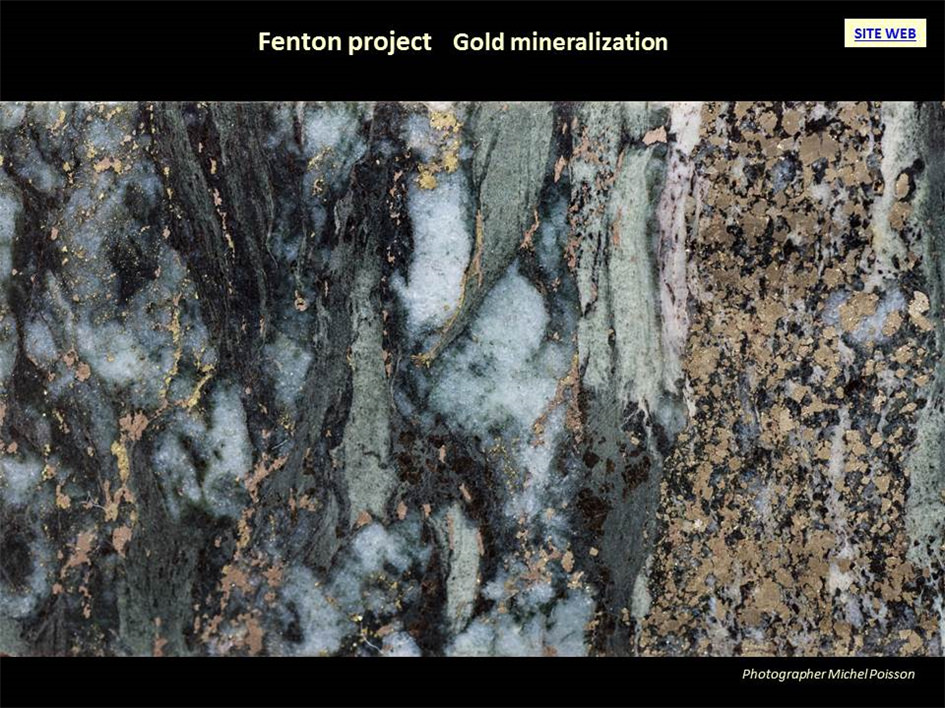
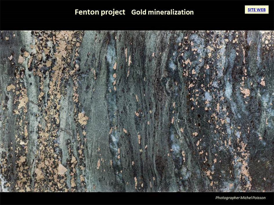
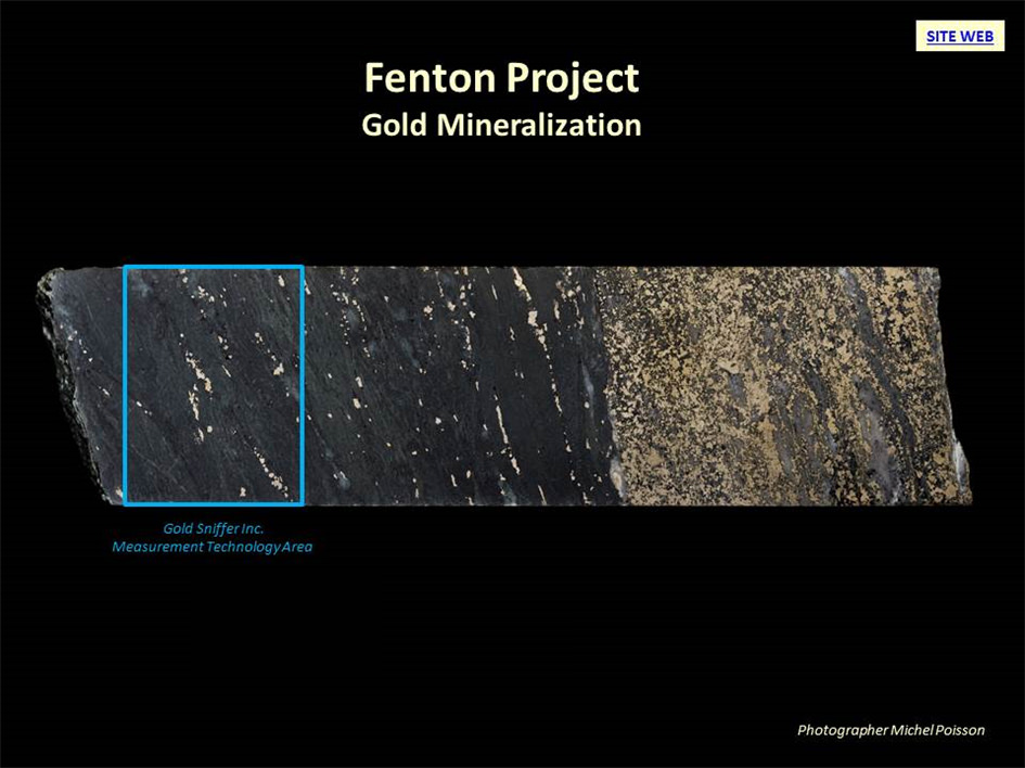
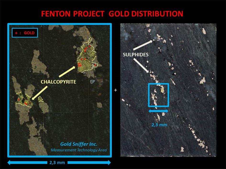
Hosts Fenton deposit with well defined gold-bearing mineralization.
- Highlights
- Photos
-
UPDATED : MAY 17th 2021
PROJECT
Fenton
STATUS
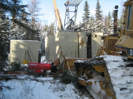
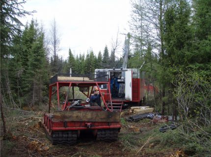
Exploration drilling to delimit extensions of the Fenton Gold Deposit
COMMODITIES
Au
LOCATION
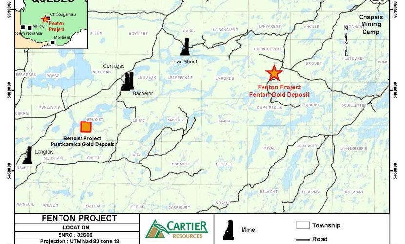
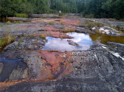
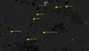
Chapais, Québec (Figure 1)
Guercheville Township
Mapsheet SNRC 32G11
Latitude: 49° 31′ N
Longitude: 75° 22′ OCLAIMS
The property consists of 18 contiguous cells.
OWNERSHIP
Cartier Resources Inc. holds 100% interest.
ROYALTIES
1% NSR royalty, which can be bought back at any time by Cartier for an amount of $1,000,000 .
KEY POINTS
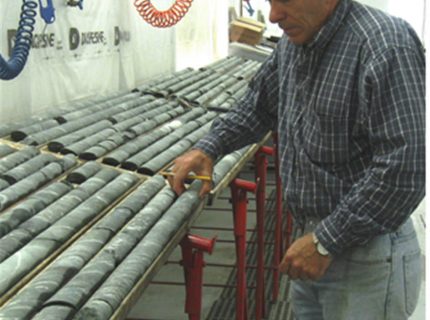
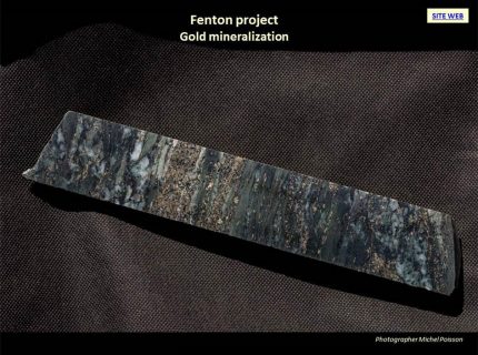
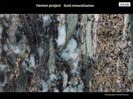
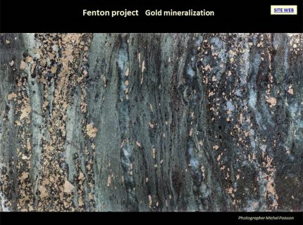
A historical estimate reports 426,173 tons grading 4.66 g/t Au corresponding to 63,885 oz Au of which 23,643 oz Au are located in the first 50 m below the surface. This estimate was made in 2000 by M. Denis Chenard, Eng. Datac Geo-Conseil Enrg on behalf of Boreal Exploration from 73 holes drilled on the three main areas of the Fenton Gold Deposit. This calculation was performed with a lower cut-off grade of 2.0 g/t Au and true minimum thickness of 1.0 m.
The qualified person has not done sufficient work to classify the resources covered by the estimate as current mineral resources to date. The Issuer does not consider the resources covered by the estimate as current mineral resources to date. The scientific and/or technical information presented in this document has been reviewed and approved by Mr. Gaétan Lavallière, P. Geo, Ph. D., Vice-President for Cartier Resources Inc. Mr. Lavallière is a qualified person as defined by National Instrument 43-101.
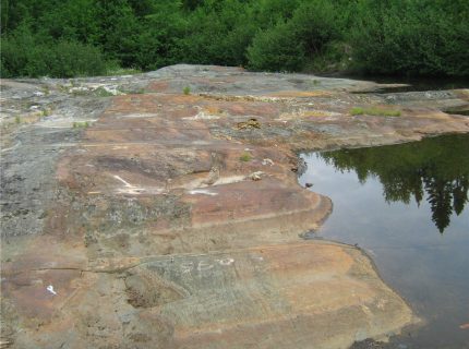
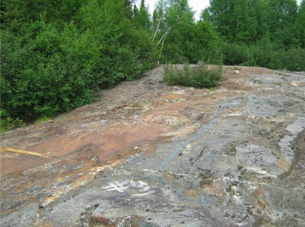
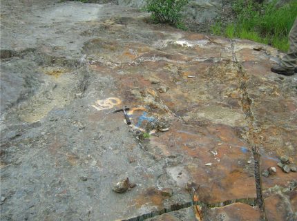
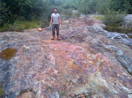
The mineralisation expansion potential remains open at depth and along strike (Figures 3, 4 et 3D Model).
Highlights
UPDATED : MAY 17th 2021
PROJECT
Fenton
STATUS
Exploration drilling to delimit extensions of the Fenton Gold Deposit
COMMODITIES
Au
LOCATION
Chapais, Québec (Figure 1)
Guercheville Township
Mapsheet SNRC 32G11
Latitude: 49° 31′ N
Longitude: 75° 22′ O
CLAIMS
The property consists of 18 contiguous cells.
OWNERSHIP
Cartier Resources Inc. holds 100% interest.
ROYALTIES
1% NSR royalty, which can be bought back at any time by Cartier for an amount of $1,000,000 .
KEY POINTS
A historical estimate reports 426,173 tons grading 4.66 g/t Au corresponding to 63,885 oz Au of which 23,643 oz Au are located in the first 50 m below the surface. This estimate was made in 2000 by M. Denis Chenard, Eng. Datac Geo-Conseil Enrg on behalf of Boreal Exploration from 73 holes drilled on the three main areas of the Fenton Gold Deposit. This calculation was performed with a lower cut-off grade of 2.0 g/t Au and true minimum thickness of 1.0 m.
The qualified person has not done sufficient work to classify the resources covered by the estimate as current mineral resources to date. The Issuer does not consider the resources covered by the estimate as current mineral resources to date. The scientific and/or technical information presented in this document has been reviewed and approved by Mr. Gaétan Lavallière, P. Geo, Ph. D., Vice-President for Cartier Resources Inc. Mr. Lavallière is a qualified person as defined by National Instrument 43-101.
The mineralisation expansion potential remains open at depth and along strike (Figures 3, 4 et 3D Model).